The ACRES Project is a comprehensive environmental initiative that aims to tackle the pressing environmental challenges faced by communities in a sustainable and effective manner. The team working on this project is dedicated to improving the environment by using innovative and cutting-edge technology and techniques.
The ACRES Project also places a strong emphasis on community outreach and support for local micro-conservation projects. The team works closely with the local community to engage and educate them on the importance of conservation, and to provide support for their efforts to protect the environment.
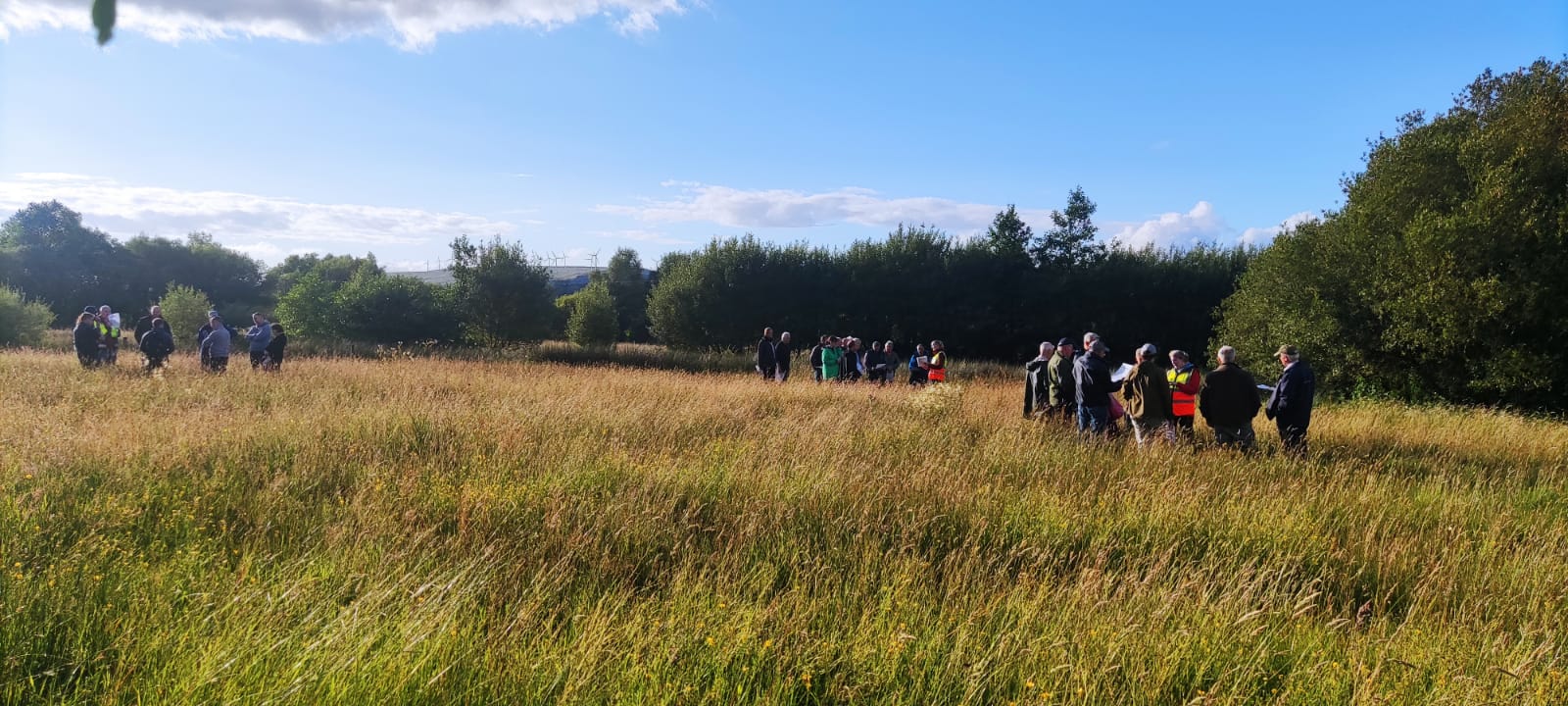
In addition to this, the ACRES Project team delivers specialist training to participating farmers, teaching them new techniques for dealing with environmental challenges such as erosion, fire risk and the threat from invasive species. They also hold open days, where they demonstrate these techniques and encourage others to get involved.
The goal of the project team is to support farmers and communities in making a real difference in reducing environmental threats, preserving local habitats and ecosystems, and supporting sustainable development. The team’s innovative approach and commitment to community engagement is aimed at helping to create a better future for all.
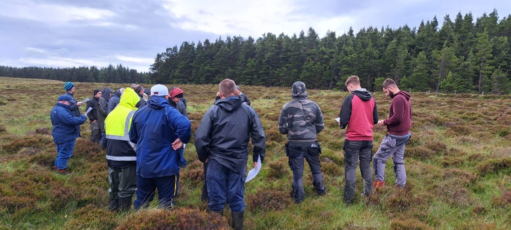
The first step in the process involves delineating the fields of participants for assessment purposes. This allows farm advisors to score individual fields for the purpose of assessing their habitat value and identifying opportunities. The Project team are responsible for assessing all commonages over 10 Ha in size to identify areas that are most in need of attention and develop targeted solutions.
We do this using an remote sensing carried out by drone followed by a comprehensive walkover assessment by trained staff. The drone surveys and the use of machine learning give us a valuable overview of the condition of the hill identifying vegetation types, fire and erosion risk and the location of invasive species. The follow up walkover assessment confirms the results of the drone survey and collects further information on the biodiversity value of the site. Together these techniques gather valuable data on the landscape and identify opportunities for improvement.
Our Project Teams have to assess 80,000 ha of commonage. To do this we are using both traditional walk over assessments and modern technology. Drones are used to identify habitats and areas of interest in commonages helping our team on the ground to get a better understanding of the issues on the site in the limited time available.
The use of drones and remote sensing technology is an essential component of the project team’s work, allowing them to gather detailed information about habitats and identify opportunities across large areas of commonage. Using this technology we can help farmers plan for improved fire resilience, to control invasive species such as Rhododendron and we can identity opportunities for effective actions to control erosion.
The Wingtra is designed for mapping large areas, we will use it to cover large open expanses of commonage.
The M300 is used when conditions are too windy for the Wingtra to work effectively and also if we flying near cliffs, wind turbines or other obstacles.
The Mavic Enterprise is a small easily portable machine that can be brought to mountain tops and other hard to access sites. It cannot cover as much ground as the larger machines but is useful on smaller commonages and in difficult to reach areas.
The Parrot Anafi is primarily used for pilot training but can also be used to make short films.